Contact Us
PIONEERING SOLUTIONS FOR CHALLENGING PROBLEMS
Legg Geophysical is a leader in providing pioneering solutions for challenging problems. As a small business, Legg Geophysical provides valuable consulting services at modest cost based on 40 years of professional experience. Publication of research results in professional journals and monographs document the advances in science and technology provided by our efforts.
Dr. Mark R. Legg is the President of Legg Geophysical. Download his CV: ![]()
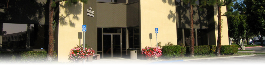
Legg Geophysical, Inc. is located in Huntington Beach, CA:
16541 Gothard Street, Suite 107
Huntington Beach, CA 92647
Phone: (714) 842-0404; Fax: (714) 842-5777
Email: mark@legggeo.com
Legg Geophysical expertise on faulting and tectonics of the California Continental Borderland was gained by more than three decades of research using high-resolution seismic reflection profiling to obtain several thousand kilometers of data across the major faults offshore southern California. Experience includes work with Dr. Michael Kennedy of the California Division of Mines & Geology (now the California Geological Survey) to investigate the character and recency of faulting offshore metropolitan San Diego. Most of the older data acquired offshore California for sub-bottom geological investigations is single-channel and analog, recorded on paper records that have been archived to microfilm. During the past decade, the team of Subsea Systems, Inc. (Mike Barth) and Legg Geophysical (Mark Legg) has become pre-eminent in acquisition, processing, and interpretation of digital, multichannel (MCS), high-resolution seismic profiles. The team has used a variety of acoustic source and hydrophone streamer arrays to map seafloor and shallow sub-bottom geological structure and to identify potential hazards to offshore construction or drilling activities. Use of the state-of-the-art MCS profiling methods, involving the common-depth-point (CDP) imaging technique, provides subsurface images far superior to the single-channel and analog techniques of the past. Furthermore, the data are acquired, processed, and published in digital format, one of the requirements of the current RFP.
Legg Geophysical owns computer workstations with software for processing navigation and digital MCS reflection data, using the commercial software Vista version 5.5 for interactive 2-D seismic data processing. We also have an Interpretation Workstation based on the Landmark Geographix Discovery package Release 2007.2 that is used for interpreting digital seismic reflection data and well logs, typically used for hydrocarbon exploration, but suitable for high-resolution subsurface geological investigations. The Interpretation Workstation has mapping tools with capability to provide structural contour maps, cross-sections, and maps displaying various attributes of the seismic data. Legg Geophysical also has three distinct and compatible Geographic Information Systems (GIS): AtlasGIS, MapInfo and ArcView. These are particularly useful for quality control of navigation during post-cruise processing and for preliminary mapping.
Legg Geophysical is a Small Business with staff proficient in geophysical data processing and analysis. We have successfully completed numerous projects at various scales, often with strict deadlines requiring focused effort. When problems arise or clients recognize that changes in project scope or direction are required, our small size allows us to quickly change course to satisfy the client’s need. For example, in the San Diego Bay project when finished acquiring the planned boomer MCS profiles, the client requested that we expand the survey to acquire data over another potentially-active fault zone farther south near the Coronado Bridge. We were able to quickly respond and acquire the desired data the same day thereby avoiding additional mobilization costs for a second survey. Regular communication with the client is the key to success in projects that become complex and may involve change in scope. Our experience in conducting many geophysical surveys in widely varying geographical areas, from deep-water, to nearshore, to coastal lagoon and estuaries, provides us with outstanding skill in designing and completing successful surveys in a cost-effective manner. Our expertise in California’s coastal and offshore geology and tectonic evolution, plus research in historical climate and coastal erosion give us unique qualifications for successful completion of the proposed work.